Krylow is located in Zamosc woj at 50°41' 24°04', 30 km SE from Zamosc. Cemetery location: at the N end of Nadbuzna St. (parallel to main road alongside the ridge of Bug river valley), between Buzek river and a small creek with no name on penisula between "Stary Bug" river or "Buzek", an old stream of a river and a small creek with no name. Present town population is under 1,000 with no Jews.
- Local: Urzad Wojewodzki, Zamosc, ul. Partyzantow 3 and Sejmik Samorzadowy Wojewodzwa Zamojskiego, Zamosc, ul. Partyzantow 3, tel. 31-34.
- Regional: Panstwowa Sluzba Ochrony Zabytkow, Wojewodzki Konserwator Zabytkow, Zamosc, ul. Staszica 29, tel. 59-71.
- Interested: Regionalny Osrodek Studiow i Ochrony Krajobrazu, Kulturowego Lublin, ul Archidiakonska 4,; phone: 73 62 24. Other organizations: Urzad Wojewodzki-Wydzial Geodezji, Kartografii i Gospodarki Gruntami, Zamosc, ul. Przemyslowa 4, tel. 26-57. Wojewodzkie Archiwum Panstwowe, Lublin, 4 Przemyslowa St.
- A volunteer caretaker lives on Czmentarna St.
Last known Orthodox Jewish burial was before 1941. Other town that used the cemetery was Mircze, 15 km away. The isolated rural (agricultural) crown of a hill has no sign or marker. Reached by crossing private property, access is open to all with no wall or gate. The size of the cemetery before WWII and now is 0.5 hectares. 1-20 gravestones, none in original locations with less than 25% are broken or toppled, date from 19th-20th century. Stones removed from cemetery are incorporated into the foundation of new structure of local grammar school. The sandstone finely smoothed and inscribed stones or flat stones with carved relief decoration have Hebrew inscriptions. No known mass graves. Municipality owns site used as a Jewish cemetery only. Properties adjacent are agricultural and residential. Private visitors visit rarely. The cemetery was vandalized during WWII. In 1994, two tombstones were found and reerected by a volunteer caretaker. There are no structures. Vegetation is a seasonal problem, preventing access. Erosion is a moderate threat.
Slawomir Parfianowicz, Jasielska (who also visited the site) 50a/2, 02-18 Warszawa completed survey 25 Aug 1995. Documentation: PSOZ "Karta Cmentarza", 1990. Interviews: officers at Preservation Authority and residents of housing nearby cemetery.
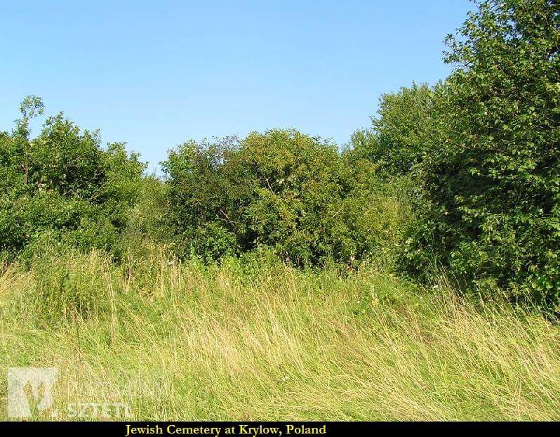
Photograph from Facebook [April 2015]