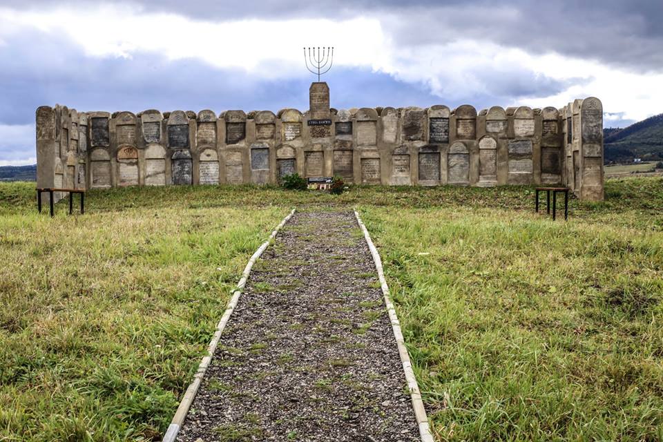
Alternate names: Dobromil (German) and Dobromyl (Polish). The town is located at 49º34 22º47, 115 km from L'vov and 24 km from S. Sambor. The cemetery is located at the western center, near the central place. Present town population is 5,001-25,000 with no Jews.
- Town officials: Town Soviet of Chairman-Is'kiv V.U. [Phone: (03238) 21105].
- Regional officials: Regional Soviet. Regional Executive Committee.
- Town officials: Jewish Community of L'vovskaya Oblast
- Others: State Archives of L'vovskaya Oblast - S.Sambor. Local History Museum.
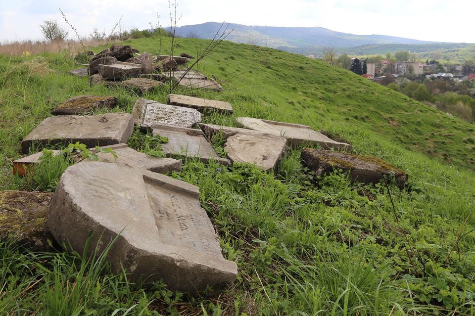
The earliest known Jewish community was 16th century. 1939 Jewish population was 2500. The last known Jewish burial was in 1941. Jewish community was Hasidic. No other towns or villages used this unlandmarked cemetery. The isolated urban hillside has no sign or marker. Reached by turning directly off a public road, access is open to all. No wall, fence, or gate surrounds this cemetery. The approximate size of cemetery before WWII was 5.00 and is now 3.00 hectares. None of the 1 to 20 common tombstones are in original location. Stones removed were incorporated into roads or structures. The cemetery has no known mass graves. The municipality owns property used for agricultural use (crops or animal grazing) and recreation (park, playground, sports). Adjacent properties are agricultural. The cemetery boundaries are smaller now than 1939 because of housing development and agriculture. The cemetery is visited rarely by local residents. The cemetery was vandalized during World War II and not in the last 10 years. There is no maintenance now. Within the limits of the cemetery are private houses. Very serious threat: uncontrolled access. Moderate threat: vandalism. Slight threat: weather erosion, pollution, vegetation, and existing nearby development or proposed nearby development.
Aberman S.E. of Apt. 2, 4 Novakovskogo Street, L'vov [Phone: (0322) 724687] visited site and completed survey on 18/05/96. Interviewed was local inhabitant. Documentation: look to Add. Comm. [sic]
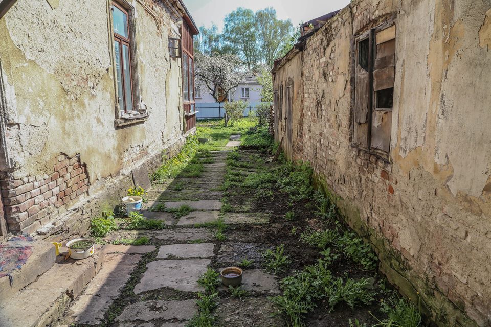
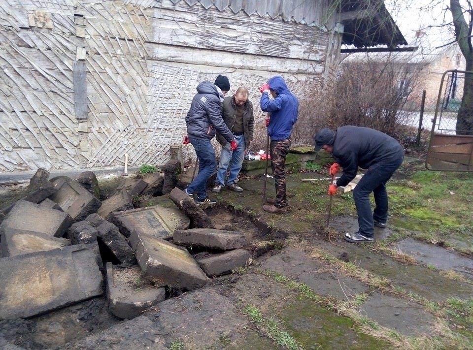
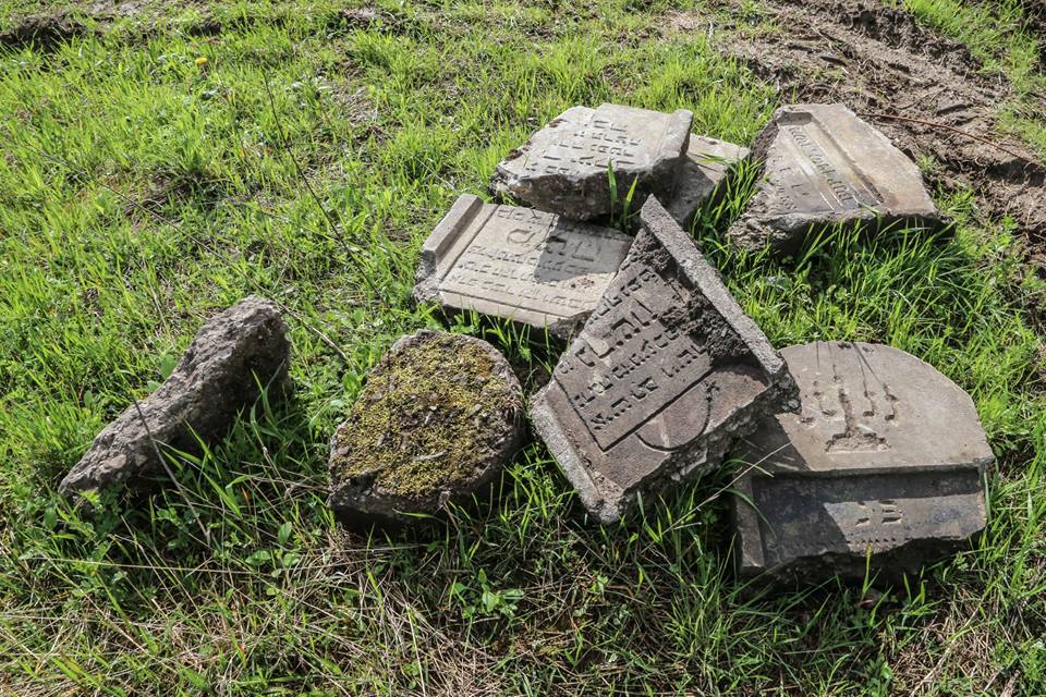
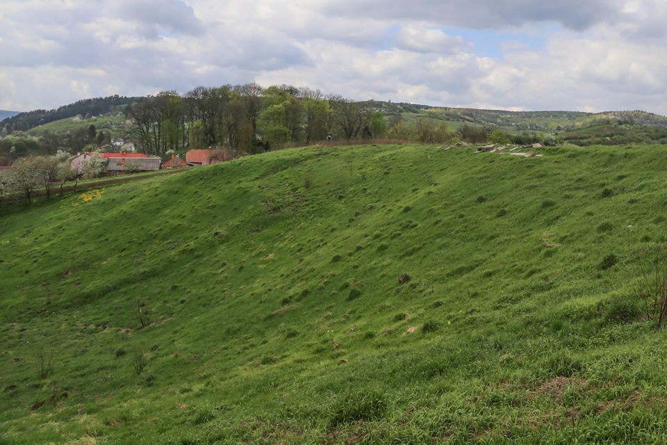
UPDATE: There is nothing but a peaceful hilltop pasture left of the cemetery. The path that leads to the site still exists. We were told that after the war, the gravestones were used to reinforce house basements. We saw the site where there once was a house for burial preparation. Nothing is left of the synagogue. The town looks much the same as described in the Dobromil Yizkor Book. Source: Sandi Goldsmith; This email address is being protected from spambots. You need JavaScript enabled to view it.
DOBROMYL' II: US Commission No. UA13270501
See Dobromyl I for town information. Dobromyl' is 115 km from L'vov and 24 km from S. Sambor. The unlandmarked 1942 mass burial site is at the westerm outskirts of the town. Present town population is 5,001-25,000 with no Jews. No other towns or villages used this isolated rural ravine between fields and woods with no sign or marker. Reached by turning directly off a public road, access is open to all. No wall, fence, or gate surrounds the site. The approximate size of mass grave is 0.06 hectares. No stones are visible. The site contains unmarked mass graves. Municipality owns mass grave now used for Jewish cemetery only. Adjacent properties are agricultural. The mass grave boundaries are larger now than 1939. The mass grave is visited rarely by local residents. This mass grave has not been vandalized. There is no maintenance or structures. Water drainage at the mass grave is a seasonal problem. Slight threat: vandalism and proposed nearby development.
ABERMAN S.E., Apt 2, 4 Novakovskogo Street, L'vov [Phone: (0322) 724687] visited site and completed survey on 18/05/96. Documentation: see Add Comm. [sic]. Other documentation exists was too general.
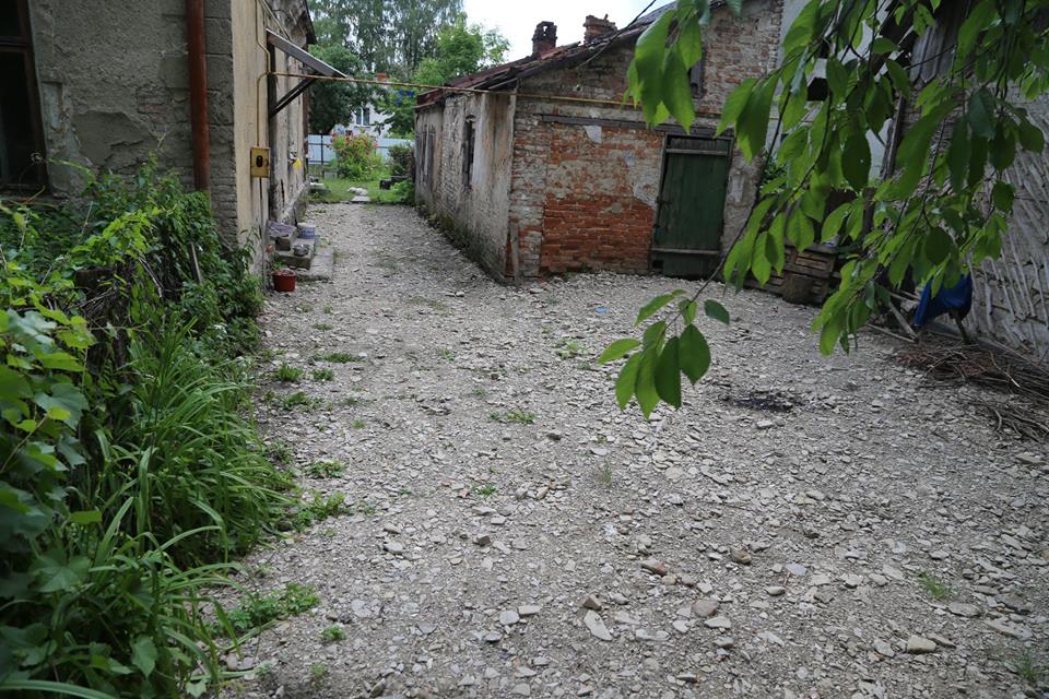
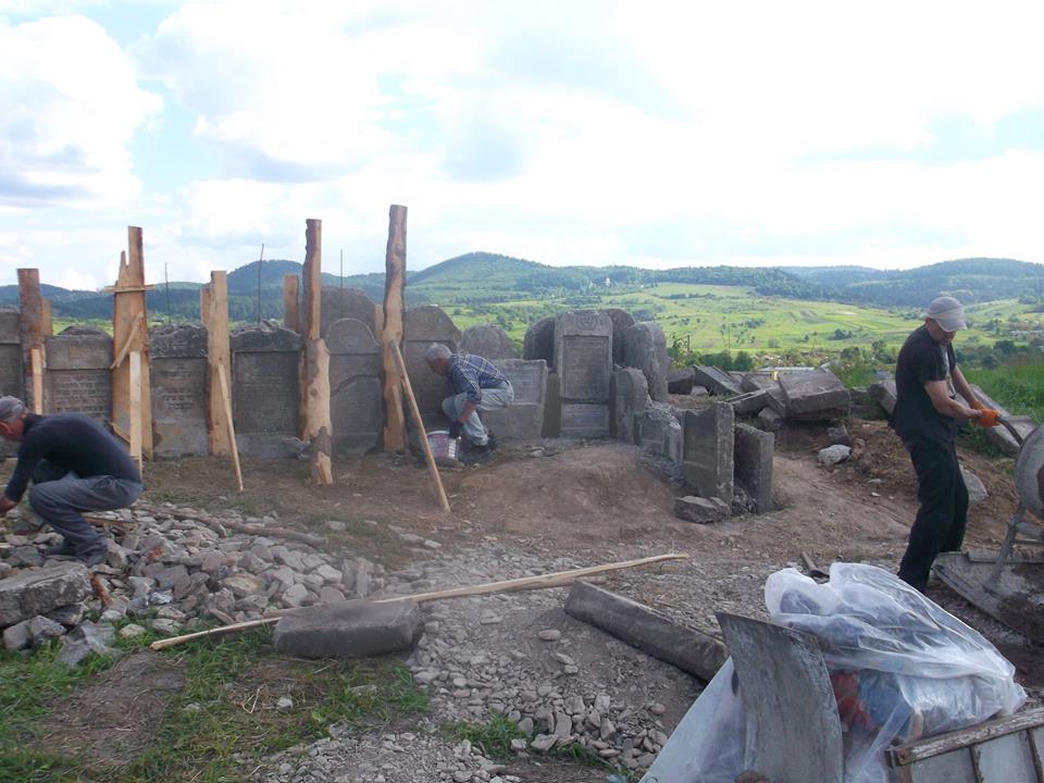
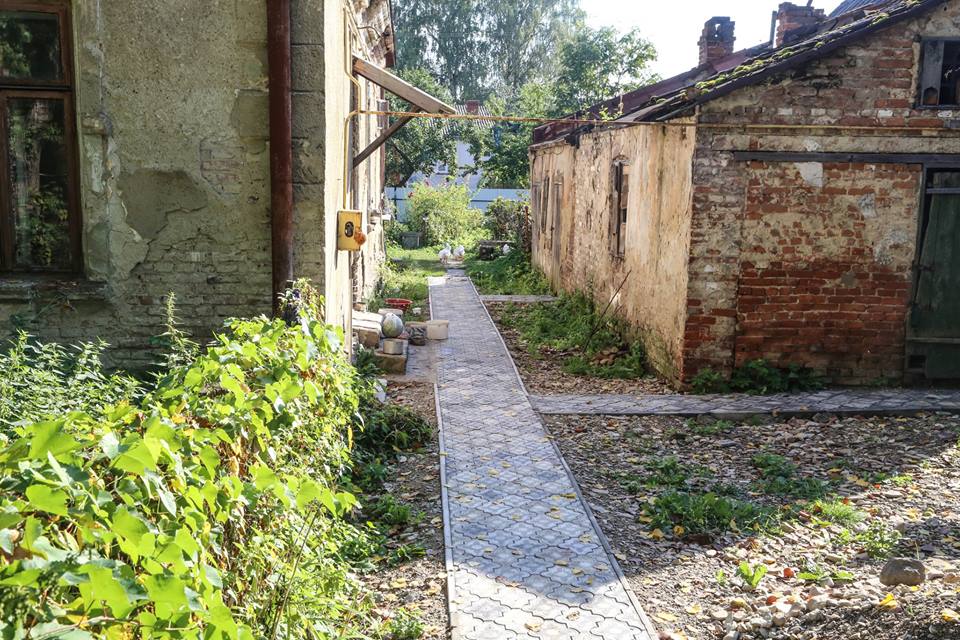
[UPDATE] Photos and captions below from Arthur Kurzweil's A Transformation in Dobromyl, cited on Facebook by Marla Osborne [October 2016]

